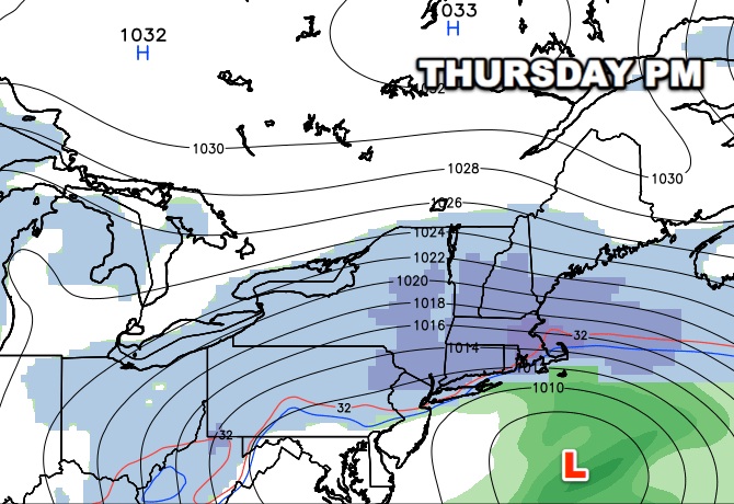
I want to get this video online before it is dated. We will be issuing a first look accumulation map on the site later today for Pro members. The odds of a 6″+ snow storm are pretty high considering it is still three days away. This storm has the potential to be memorable for a long-duration of nearly 36 hours and very cold conditions during and after the snow. Strong winds are likely, too .
UPDATE 12Z GFS
The latest GFS (not shown in the video) has a long-duration event that starts early Thursday and lasts through most of Friday. A few things to note…it never has very heavy snow over SNE, but it is a very cold storm, so there would be a significant fluff factor to the snow. The model has the temperature in the single digits and teens on Friday, with wind chills well below zero. The winds are projected to be 20-40 mph on Friday. The model drops the temperature to 0 to -12 Friday night, with wind chills of -20 to -30-!!!
