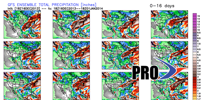
The third snow event in a week will scoot through Southern New England on Tuesday. With 3.5″ of snow the Providence area would eclipse the normal for the entire month. With 4″ of snow the total for the month would be the same as all of last December, and most of that came in one storm late in the month. After the Tuesday’s snow, however, the pattern will become milder by late in the workweek. Highs will reach the 40s on Friday, and it may make it to the 50s Saturday and/or Sunday. The warm-up will come ahead of a series of cold fronts that will threaten SNE with rain a couple of times between Friday and Sunday. It looks like Sunday is the favorite for steady rain.
The rain and mild temperatures will wash away the snow that’s on the ground as of midweek, but the outside chance of a white Christmas exists if a storm can form along the departing cold front early next week. Right now, it’s low probability, but not impossible. The pattern looks cool during the last week of the year. As for the storm potential, we’re not getting a great read on that. There should be some Alberta Clippers in the northern branch of the jet stream, but it is unclear if there will be any phasing with the southern branch to create a bigger storm.
