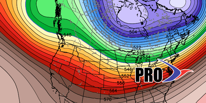
The months-long drought (pun intended) of active weather in the Eastern United States is ending. Last week’s rain storm was the first of several systems that will impact the Northeast United States through the first two weeks of December. We talked about “battleground” storms in recent Long Range and Seasonal forecasts, and it looks like there will be some mixed precipitation events in Southern New England in the next two weeks.
So, that’s some pretty cold weather heading for the Upper Midwest & Rockies. Widespread sub-zero weather. Some -30s! pic.twitter.com/LgTxUYgsIK
— Right Weather (@RightWeather) December 3, 2013
The first system coming through late this week promises to bring rain initially, but it may end as mixed precipitation or snow Friday night. Cold, dry weather invaded Southern New England for the weekend before another system peels out of the Plains and heads for the Mid-Atlantic and Northeast. There should be enough lingering cold air to allow for some snow and mixed precipitation in, at least, inland Southern New England when that system arrives early next week. The storm will probably cut west of or over New England leading to a change to rain, but the track bears watching – especially from Worcester County west and in Northern New England. There could be secondary storm development that keeps the cold air locked in those places.
Check the video for more…
