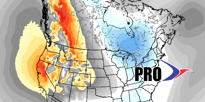
While the short-term forecast features a wealth of very cold weather for the midweek, the long-range forecast is for the January thaw to arrive and most likely last for a week or more. The temperature should get to near or above normal by late in the workweek, and rain is possible this weekend as a southern jet stream system moves north and to the west of Southern New England. Next week looks mild with a west to east jet stream and the frigid weather bottled up in Canada. Most of next workweek looks dry.
There are indications that we’ll at least get back into a variable, if not a cold, pattern for the last two weeks or so of January. The CFSv2 model is advertising a return to colder than normal weather from roughly January 20 to February 20 in the Eastern United States.
