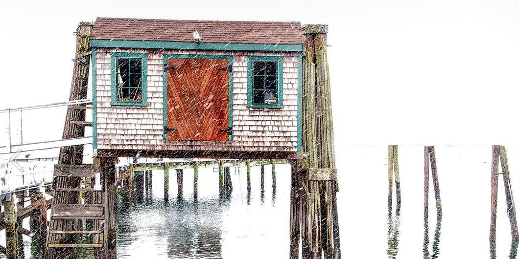
A few snow showers are possible Sunday evening as a weak disturbance passes through. The best chance of a coating of snow is in S RI. It will be mainly clear after midnight with a diminishing breeze. Lows will be in the low to mid single digits in the countryside, and low teens in the cities and near the coast. It will be a quiet and chilly start to the workweek. Highs will be in the low 30s with mostly sunny skies and a 10-20 mph west breeze.
Snow-weary Southern New Englanders will not want to hear this, but there is more snow in the forecast for Tuesday. It does not look like a major event, and the snow may have a tough time sticking to the pavement if it remains light. Snow will develop from west to east during the morning, and it will continue in the afternoon. Depending on the track of the system, there could be some rain mixed in near the coast. Any precipitation should end by early in the evening.
The best chance of accumulating snow is away from the coast where it will be a bit colder. Cape Cod and the islands may see mainly rain due to a southeast wind. Most of RI and SE MA will pick up an inch or two, and there is the potential for 2-4″ farther inland. Highs will be in the low to mid 30s on Tuesday.
Another front will move through on Wednesday. There is the chance of a passing rain shower, but most of the day looks dry. It will be milder, with highs approaching 40. The mildest weather in more than two weeks is ahead for late in the workweek. Thursday looks partly sunny with highs in the low to mid 40s. An approaching cold front will trigger rain showers on Friday. Highs will be in the upper 40s to low 50s.
Looking ahead to next weekend, the weather should be dry and seasonably mild on Saturday, with highs in the low 40s. A storm moving out of the Southeast United States may bring rain on Sunday.
Cover photo by 08209photo.com
