Boston reached 80° for the third consecutive day on Monday. It was the first time that’s happened since September 2-4, 2013. Providence saw the warmest day since mid-September. Does this mean we’ve turned the corner to a warm spring pattern? No. Reality will bite Monday night as the wind shift to the northeast and brings in much cooler weather for the midweek. Highs will struggle to reach 60 on Tuesday, and it will only be in the low to mid 60s on Wednesday.
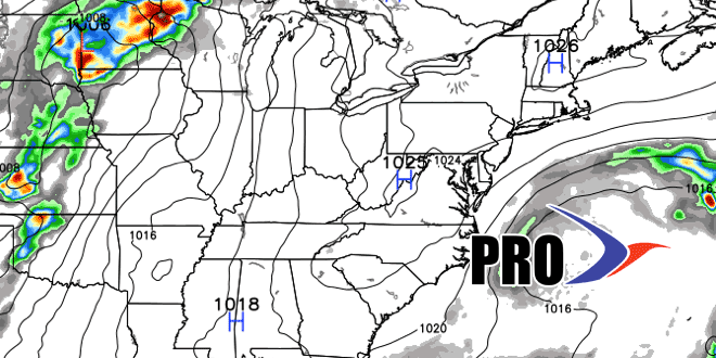
It will get warmer, especially inland, late in the workweek. Showers and thunderstorms threaten Friday PM into Saturday, and the first part of the weekend may be a washout. It looks drier on Sunday. Looking ahead to next week, a cut-off area of low pressure will be spinning off the Eastern Seaboard. Exactly where that sets up will have everything to say about the weather in Southern New England. If it’s close enough to Cape Cod, then we could be in for an extended cool/unsettled stretch of weather that lasts into the Memorial Day weekend. If it’s a bit farther away, then it will be dry and pleasant, but not particularly warm for late-May. At this point, it does not look like a worst-case scenario, but it’s a situation to watch closely.
