


The first full weekend of June was an absolute beauty in Southern New England. Highs reached the 80s inland both days, and the sea breeze kept the coast in the mid to upper 70s. Unfortunately, the great weather will not continue into the workweek, but it does not look awful, either.
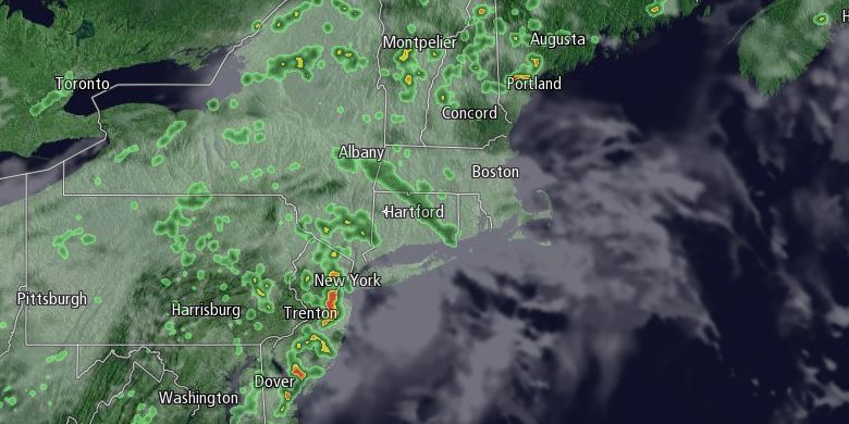
Clouds will slowly increase Sunday night as a weakening disturbance moves into the Northeastern United States. Monday looks partly to mostly cloudy, and a bit cooler, with highs in the mid to upper 70s inland, and low 70s near the coast. Scattered showers are possible, with the best chance of rain in the morning in Connecticut and Western Massachusetts. The action may spread east during the afternoon. It does not look like the showers will be terribly heavy or long-lived.
Tuesday will be unsettled, with scattered showers and thunderstorms. It will be muggy, with highs in the low to mid 70s. Showers may linger Tuesday night into early Wednesday. Right now, it looks like a window for drier weather Wednesday and Thursday. It will not be particularly warm, with highs in the low to mid 70s. There is a good chance that showers return late in the workweek. Friday will be showery, with the chance of thunderstorms, and highs in the 70s.
The early outlook for next weekend is for mainly dry weather. We expect highs to be near 80 on Saturday and Sunday. If so, it will be the third straight nice weekend in Southern New England.
Cover photo by 02809photo.com