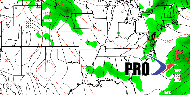
The first five days of June have all been within 2° of normal, but that does not tell the story. We’ve had highs in the 80s and in the 60s, and lows in the 40s and in the 60s. Basically, only Tuesday was a typical early June day with a high of 76 and a low of 53. Moving forward, Friday will be about normal for June, and then warmer weather will arrive this weekend. However, it does not look like the warm pattern will stay around for too long, as a disturbance moving out of the Midwest brings a shower threat to the Northeast in the middle to late part of next workweek.
It still looks unlikely that the Father’s Day weekend will be completely dry. We’re not predicting a very rainy weekend, but a storm system nearby could trigger showers Saturday and/or Sunday. We’ll have a better feel for the details of this forecast in the middle of next week.
Looking all the way ahead to the following week, the pattern still looks more like spring than summer, and that means disturbances cutting across the country and having an impact in New England with at least scattered showers. The Bermuda High that pumps in heat and humidity will most likely not be setting up shop through June 20 – which just so happens to be the last day of spring.
