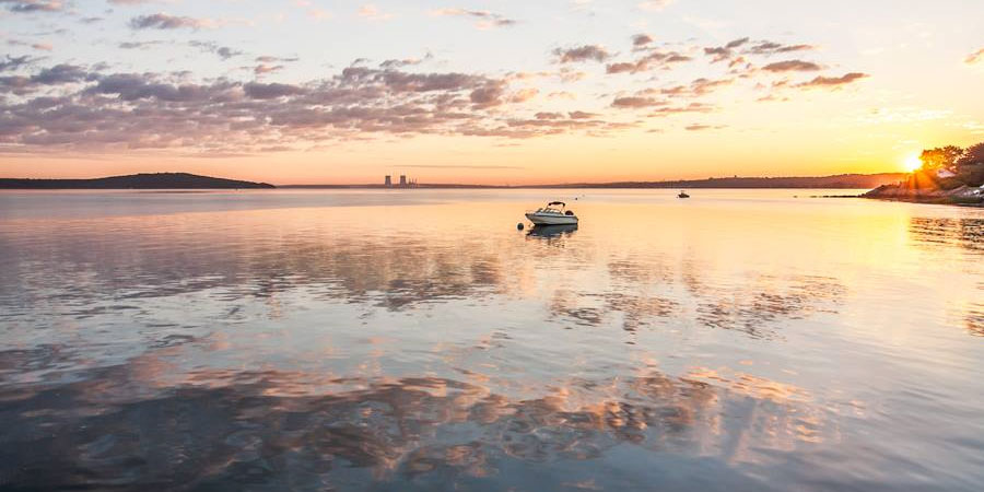
It was a “room temperature” weekend in Rhode Island and Southeastern Massachusetts. Highs both days were generally in the low to mid 70s, nearly 10° below the normal low for this time of the year. Warmer weather is ahead, but it will be a gradual trend in the next few days.
Some low clouds and fog are possible Sunday night as the wind swings around to the north-northeast and a storm system shoots out to sea east of Nantucket. Lows will be near 60. After a cloudy start, Monday should become partly to mostly sunny in the afternoon. There is a slight chance of a pop-up shower along a sea breeze boundary several miles inland. An east-northeast breeze will keep the temperature from getting much above 80° inland, and it will stay in the mid 70s near the coast. Dew points will be in the 50s, very comfortable for late July.
The wind will swing around to the south-southwest on Tuesday, and warmer weather will arrive. It will be partly sunny and humid, with highs inland in the mid to upper 80s, and closer to 80 near the coast. Tuesday night looks mild and muggy, with lows in the mid to upper 60s.
Wednesday will most likely be the warmest day of the week. The southwesterly breeze will continue, and highs will make a run at 90° inland. It will be in the low 80s near the coast. You can expect hazy sunshine and high humidity – a true “dog days of summer” feel. It will likely stay dry through the day. Showers and thunderstorms are possible Wednesday night and Thursday as a cold front eases through Southern New England. Lows will be near 70 Wednesday night, and highs will be in the upper 70s to low 80s on Thursday. The best chance of rain on Thursday is in the morning, but showers cannot be ruled out in the afternoon.
It will turn less humid Thursday night as skies clear. Right now, the weather looks decent from Friday into next weekend. It will be seasonable with highs in the low to mid 80s, and lows in the low to mid 60s. Clouds may increase on Sunday as a cold front approaches.
Cover photo by 02809photo.com
