So far this month the temperature is running a couple of degrees above normal, and most spots have received more rain than typically falls in an entire month of July. The interesting thing about the rain totals is that most of the wet weather has come from two events – the thunderstorms earlier this week, and the cold front and Arthur combination on the 4th of July.
The next couple of days look dry and pleasant. Friday should be sunnier than Saturday. We are watching a disturbance developing off the Southeast US coast. It is forming along the front that brought all the rain earlier in the week. There are some signs that it will drift north and bring rain or thick clouds to coastal Southern New England on Sunday. Keep in touch with that forecast on rightweather.com.
Looking ahead to next week, the wind will swing around to the west-southwest by Tuesday, and a couple of very warm to hot days are possible through the midweek. If there is a west wind on Wednesday, it could be the warmest day of the year so far. At this point, I think it will fall short of 92 in Providence due to a combination of clouds and a wind that veers to the southwest.
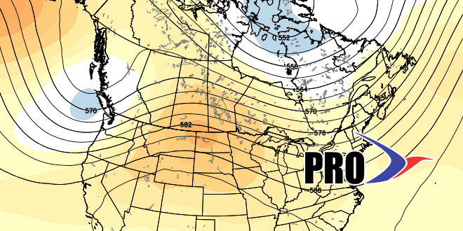
A cold front threatens the area with showers and thunderstorms on Thursday. It will be followed by another area of high pressure from Central Canada. That is a theme that we have seen in quite a bit in the past few months. In general, we are not expecting much change to the weather pattern through the end of July. That means that we will not see a lot, if any, extreme heat through the dog days of July. As for rain, it looks like there will be periodic cold fronts that threaten the area with showers and thunderstorms.
