Tuesday morning was the coolest in nearly two months in the Providence area. It’s just one of many signs that the summer of 2014 is heading up the 15th fairway with just a few holes left. This August has been cool in Southern New England, and the outlook for the next week is for more cooler-than-normal weather through this weekend. It will be mainly dry, but not as beautiful over the weekend as it is in the middle of this week. Highs may struggle to get above the low 70s on Saturday and Sunday with some clouds and a fresh northeast breeze.
There is a brief opportunity for a warm-up early next week. Monday may make it to the mid 70s, and low 80s are possible Tuesday and Wednesday before a front comes through. It will not be hot and humid, but highs may make it into the low to mid 80s inland – a bit warmer than normal for late-August. The next best chance of rain is not until the middle to end of next workweek. It looks like scattered showers with a cold front. The very early outlook for Labor Day weekend is for a warm start and a cooler finish, with the chance of showers in the middle.
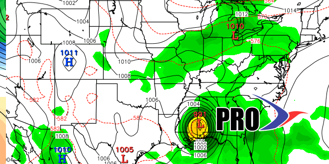
There are a few signs that the tropics are waking up. A disturbance in the Atlantic may take the low road through the Caribbean and make it into the Gulf of Mexico next week. A more likely scenario has it dissipating near South America because it is so far south. We’ll be watching closely to see if anything else gets cooking.
