A northeast wind will prevail for most of the rest of the workweek in Southern New England. That will keep it relatively cool during the day, and relatively mild at night because of cloud cover and the ocean temperature still in the 60s. There should be a roughly 10 degree temperature range from night to day Tuesday through Thursday.
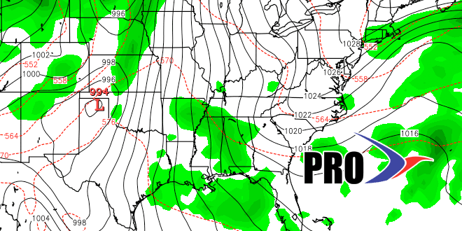
Friday looks like a decent day with highs and lows close to normal for early October. A cold front will move through on Saturday bringing showers and possibly thunderstorms. Right now, it looks like the rain will be steadier in the morning than in the afternoon, but that timing could change. Sunday into Monday should be dry before another weak system moves through the Great Lakes and brings the possibility of showers in the middle of next week.
The active northern branch of the jet stream should carry another system through late next workweek. Once again, it does not look like a soaker, just the chance of showers. The pattern will stay active through Columbus Day weekend. Although it will be warmer than normal over the next two weeks, I don’t expect anything close to the summer-like warmth we had this weekend. Most of the “warmth” in the next two weeks may actually come at night when temperatures run several degrees above normal.
