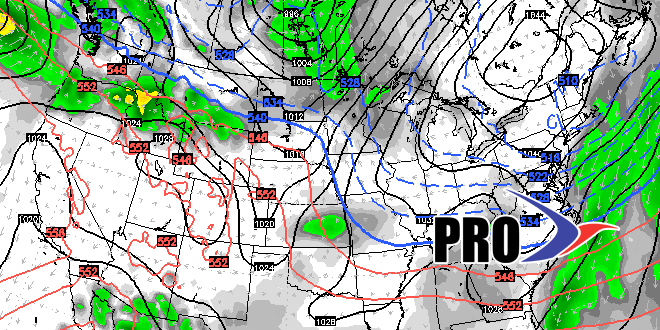
Flurries, snow showers, and freezing drizzle provided a little weather excitement (and headaches) on Thursday, but it certainly was not the big snow event that snow-lovers in Southern New England are yearning for. At the midway point of the winter, there has only been about 6″ of snow in the Providence area. However, the pattern for the first half of January has been cold, and there are strong indications that it will stay that way for the last ten days of the month. The big difference will be the storm track shifts south of Southern New England.
So far this winter, we have gone from cold/dry stretches to brief warm-ups when the storms track over or west of Southern New England. It was a wet December and after Sunday’s storm we’ll likely be on track for at least near normal precipitation in January. But, of course, there is a big lack of snow. For it to get snowy, the storm track needs to shift to south of Southern New England, giving a chance for northeast winds to lock in the cold air. So, if the storm track is shifting south, then you must think it’s going to get snowy, but that is not always the case. If the track is too far south, and the trough at 500mb positively tilted, then the storms are likely to miss Southern New England to the south as they head out to sea. While that looks like the case for most of next week, I think there is a decent chance that we’ll get into a snowier pattern in late January and early February. The longer range models are occasionally showing storms that have a wintry look in the Northeastern United States in the 10-15 day timeframe. That has not been the case for most of the winter.
