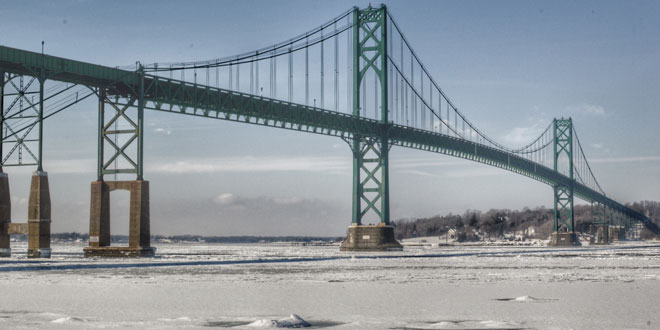
The very cold and snowy month of February will end with more cold weather, but a break from the snow for a while. After seeing the temperature rise into the mid to upper 30s Sunday afternoon, Southern New England will get another surge of Arctic air to start the week. The temperature will fall to the teens to low 20s by early Monday, and it will hover in the teens during the day with partly cloudy skies. A northwest wind will make it feel more like 0-5°.
The temperature may fall below zero in Providence for the sixth time this month Monday night into Tuesday morning. Looking back through the records, the last, and possibly only, time the temperature fell below zero in Providence six times in one month was February, 1979. Skies will be clear, the snowpack is deep, and there will be dry, Arctic air and light winds. It should be a good night to watch the temperature plummet.
Tuesday looks sunny and frigid early, with some clouds moving in during the afternoon. The temperature should eventually climb into the low to mid 20s. A cold front moving through Tuesday night into Wednesday may bring a few flurries or snow showers, but, right now, it does not look like there will be accumulating snow. Lows will be in the teens to low 20s Tuesday night.
Wednesday will become partly cloudy with highs in the mid to upper 30s – it will be the warmest day of the workweek. Unseasonably cold weather will return Wednesday night and stay around into next weekend. Lows will be in the teens to single digits early Thursday, and highs will be in the low 20s with plenty of sunshine.
The weather looks quiet Friday into Sunday as high pressure moves overhead. Lows will be in the single digits to teens, and highs will be in the 20s on Friday, and 30s on Saturday and Sunday. A storm system may arrive Sunday night with a rain and snow possible.
Cover photo by photosbymatt.me
