If you’re a weather buff, remember this month. You may never see another one like it. February 2015 will go into the books as the one of the coldest and snowiest months on record in Southern New England. It looks like it will be the coldest on record in Hartford and Worcester, and second coldest in Providence and Boston. It’s the snowiest February on record in Worcester and Boston, second in Providence, and third in Worcester.
Every day this month will be colder than normal in Providence. In fact, the streak of below normal days dates back to January 26. If you don’t think that is a remarkable stat, I challenge you to start keeping track of the streaks of colder/warmer than normal weather after this one ends. You may not see one longer than this (warm or cold) in your lifetime. There is another cold weather stat or two in the video.
There is a chance of light snow Tuesday night as a system shoots by east of New England. The best chance of picking up a couple of inches is on Cape Cod. On Thursday, there will be a storm moving off the Southeastern United States coast. We’re keeping an eye on it for a slight chance of snow as it has trended north. Right now, odds still favor a miss.
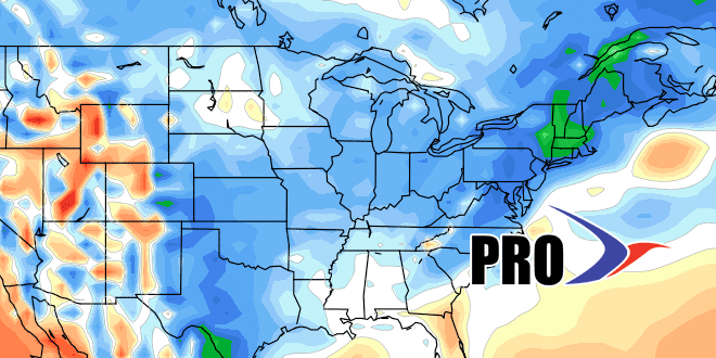
The weekend looks fairly quiet, with a cold end to the month on Saturday. It may reach 40° for the first in forever (Jan 19) on Sunday ahead of the next storm that will likely bring mixed precipitation and rain early next week. After that, there will be more cold/dry weather for a bit. Overall, the pattern looks colder than normal through the first half of March, and probably longer than that. While it will be staying relatively cold, the chill will not be as bad because the normal temperature is steadily rising as we near spring. Two weeks from now, the normal high is 46°. Boston is within shouting distance of its all-time winter snow record, and will get there with just a normal amount of snow from here on out. Odds are, there will be near to above snowfall in the next few weeks, so history could be made in Boston this March.
