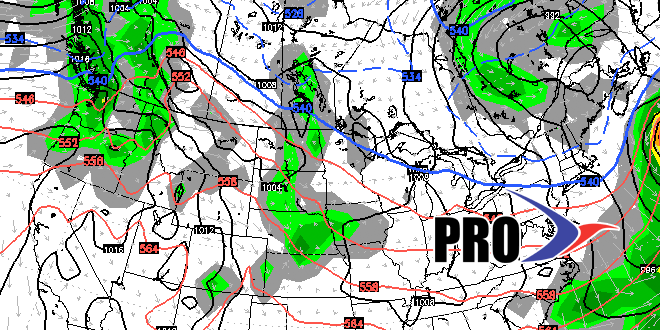
Monday was the unsettled and cooler weather that we mentioned in the Long-Range Forecast on April 9. And, as we mentioned during last week’s Long-Range Forecast, there will be a cut-off area of low pressure hanging around the Northeast at the end of April. Initially, this cut-off low will mean seasonably cool and mainly dry weather late this workweek through the weekend. One potential fly in the ointment is a storm moving through the Mid-Atlantic this weekend. Right now, it looks like it will stay south of Southern New England, but it bears watching.
As we get farther into the long-range, there is the potential for a storm to form near the Northeast coast. I do not expect that to happen until sometime between April 29-May 4, if at all. The large-scale pattern is not favorable for an extended warm-up through early May.
