The temperature soared into the 80s away from the coast on Monday. I have yet to hear anyone complain about the heat, and that’s probably due to the kind of winter we just endured. It looks like the relatively warm spring weather is here to stay through the Mother’s Day weekend into early next week. Aside from a few stray showers on Tuesday, the pattern looks dry through the end of the week. Lows will be in the 50s for several days between Tuesday and next Monday. Highs will routinely reach the 70s inland, and it will be cooler near the coast most days because of a southwest breeze.
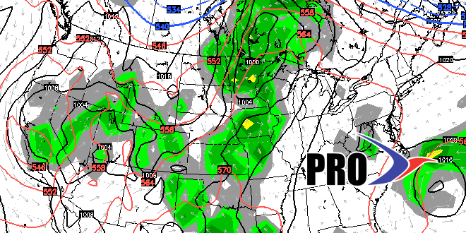
A cold front in the middle to end of next work week could bring a cool-down into the weekend of May 15-16, but it does not look terribly chilly for mid-May. In fact, signs are that their could be a rather pleasant area of high pressure that meanders out of central Canada and sets up shop in the Northeast.
It has been a dry spring, and that will not change much in the next couple of weeks. One potential fly in the ointment is a storm that may develop off the Carolina coast. It it becomes and organized system and gets drawn north by the jet stream, then a soaking rain is possible next week. Right now, that is not the likely scenario.
