The temperature has not gotten close to 90° so far this month in the Providence area. In fact, it has not reached 80° nearly 75% of the time through the 18th. Summer officially arrives Sunday, and with it will come leftover rain from Tropical Storm Bill. Monday will be dry and much warmer, with highs in the 80s. A disturbance moving through on Tuesday could bring another round of showers.
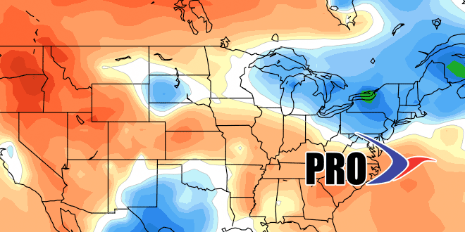
It does not look particularly warm at the end of next workweek. Highs may struggle to reach 80°, which is the normal high in late June. The pattern looks fairly active for early Summer, and another round of rain is possible at the end of next workweek. Of course, in the summer, with warmer air able to hold more moisture, there is the potential for heavy downpours. That’s something we’ll be watching on Sunday and with any system that heads our way next week.
Looking ahead to the last few days of June and early July, there does not seem to be much very warm weather heading for Southeastern New England. Another disturbance with rain or showers may roll through early in the week leading up to the fourth. The early indications are that it could, at least briefly, get very warm to hot just before the 4th of July weekend.
