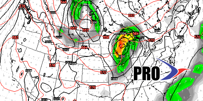
The temperature has been steadily falling since a hot start to the month. The first five days of August featured an average high temperature of 88° in the Providence area. The average high temperature in the last five days is 78°. For the month, the temperature is running less than 1° cooler than normal.
After Tuesday’s rain, a relatively quiet weather pattern will last through the workweek into the weekend. The temperature will bounce back to near and above normal in the next 4-5 days. It will not be humid through Thursday before muggy weather returns late Friday into the weekend. A stray inland shower is possible on Wednesday, but, other than that, it will be dry with some great beach weather late in the workweek.
A weak cold front could trigger an inland shower or storm on Saturday. It looks like that front will dissipate, and Sunday should be warm and seasonably humid. Looking ahead to next week, very warm to hot weather is in the forecast through the midweek, and possibly longer. Will have to keep an eye on the Eastern Seaboard for some potentially unsettled weather, but, at this point, it looks like it will stay away from SNE. Expect it to feel like mid-summer through the end of next week. See the video for more.
