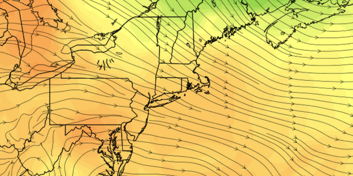
14 of the last 15 days have been warmer than normal in the Providence area. The pattern will not change as we head into September. It will be much warmer than normal to end August, and the first week of September looks toasty.
SUNDAY
There will be more clouds on Sunday than there were on Saturday. After a mild start, the temperature will rise into the mid 80s inland, and low 80s near the coast with partly cloudy afternoon skies. A southwest breeze will make it a bit more humid – especially near the coast. Sunday night looks partly cloudy to mainly clear and mild. Lows will be in the mid to upper 60s.
MONDAY
The workweek will get off to a warm start. Highs will be in the upper 80s to low 90s inland, and low 80s at the coast. The humidity will be noticeable, but not oppressive. Skies will be partly to mostly sunny.
MIDWEEK
We’re not expecting too much change in the middle of the week. It will stay warm, with highs inland in the mid to upper 80s. A sea breeze will cool the coast in the afternoon. Highs at the beaches will be in the low 80s. It looks like there will be a decent dose of sunshine Tuesday through Thursday. Lows will be in the mid to upper 60s – about 10 degrees warmer than normal for early September.
FRIDAY INTO NEXT WEEKEND
The early outlook is for the warm pattern to persist into next weekend. Highs in the 80s are expected Friday through Sunday. The forecast is also for mainly dry weather through next weekend.
