Dry and seasonably cool weather continues through the midweek. It will get milder on Thursday, and may be damp near the coast. Showers will arrive late Thursday, and a period of steady rain is likely Thursday night into Friday morning. It looks like the rain will linger through midday, before ending in the afternoon. The temperature will be well into the 50s both Thursday and Friday.
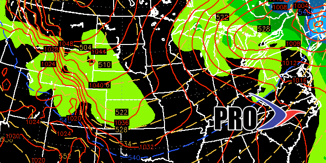
The weekend forecast is tricky because two storms will “phase” over New England or Eastern Canada on Sunday. Exactly where the storms connect will decide if there is steady precipitation in Southeastern New England. Right now, it looks like the phasing will happen after the storms are north of us, and that means it will be mainly dry. Highs will be near 50 on Saturday and Sunday, with the best chance of showers late Saturday into early Sunday.
Next week looks slightly cool, but not unbearable. Lows will be close to freezing, which is near normal, and highs will range from the mid 40s to around 50 – just a bit below normal. Right now, we’re seeing dry weather for Thanksgiving with highs in the upper 40s to low 50s. A storm system may bring rain next weekend.
*Note* – this video was cut before some new data arrived. We have shifted the threat for showers from Sun-Mon to Saturday night into Sunday am. Either way, it does not look like a big threat at this point.
