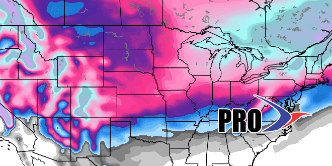
January is wrapping with warmer than normal weather in Southeastern New England. The winter storm last weekend cut into the snow deficit, but there is no sign of steady snow in the near-term. The next significant precipitation will be all rain in the middle of next (Wed PM into Thu AM). The temperature will be running 10-20° warmer than normal from Mon-Wed of next week.
Cooler weather arrives in the wake of the storm late next week. It looks mainly dry through next weekend. There is some promise for snow in the middle of the month as the storm track becomes more active. The pattern looks favorable for a storm somewhere in the Eastern United States the weekend of Valentine’s Day. That would be unfortunate for restaurateurs, especially since last year featured a Valentine’s Day storm in Southern New England.
While the pattern will be colder in the middle of the month, it will not approach the extreme cold that we endured most of last February. Among other things, there is not a deep snowpack in the Northeast to enhance the cold air.
