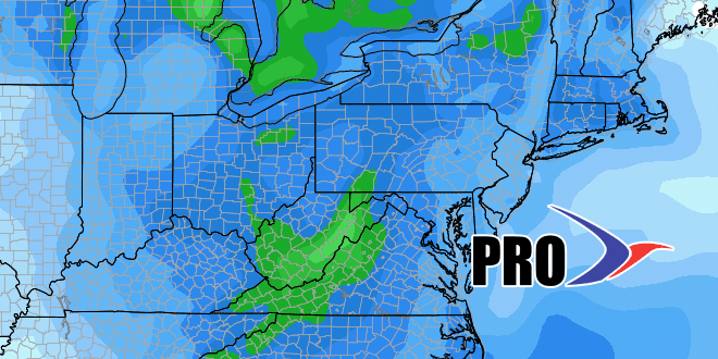
In all likelihood, Sunday will be as cold or colder than any day last February, and that was among the coldest months on record in Southeastern New England. The temperature will average only a few degrees above zero, with a low between -2 and -7, and a high between 8-14 degrees. Monday morning looks brutally cold, too, but we will come out of the deep freeze abruptly on Tuesday as a storm system likely cuts west of the Eastern Seaboard, bringing rain, mild temperatures, and potentially damaging wind.
A second, weaker storm may follow in the Wed/Thu time frame with snow or mixed precipitation. Looking down the road to next weekend and the following workweek, the weather looks relatively benign, without any big storms or wild temperature swings like we’ll see late in the weekend to early next week.
As you’ll see in the video, the pattern should get more active in late February and early March, but it also does not look colder than normal, so more often than not the precipitation may be at least partly rain from the storms heading our way in late winter.
