After a very windy Tuesday, the weather will improve Wednesday and get milder on Thursday. Showers arrive Thursday night and continue on Friday. It will stay relatively warm while the rain is falling. Highs may reach 60 Thursday and Friday.
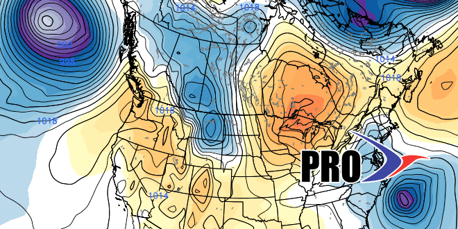
As you’ve probably heard, a sharp cool-down is ahead for late this weekend into early next week. We have seen this one coming for a while, and it looks like it will be 15-20° colder than normal for a couple of days. That means highs will struggle to reach the low 40s between Sunday (if the cold shot arrives soon enough) and Tuesday. It’s not unbearable, but it’s a lot colder than you’d like to see in early April.
The odds favor mainly dry weather when the cold weather arrives. Flurries are possible on Sunday, and there is about a 30% chance that a storm forms Monday-Tuesday and comes close enough to bring 2″ or more of snow to parts of Southeastern New England. The more likely scenario is for dry and chilly weather, but 30% odds of 2″ of snow is pretty high for the first week of April.
The cold snap will likely last through Tuesday before the temperature bounces back pretty quickly later in the workweek. Overall, it does not look as cold in mid-April. The storm track looks to be just off the Eastern Seaboard, and that needs to be watched because if it shifts west of the current projection, then we’ll see some rainy weather in the middle of the month.
