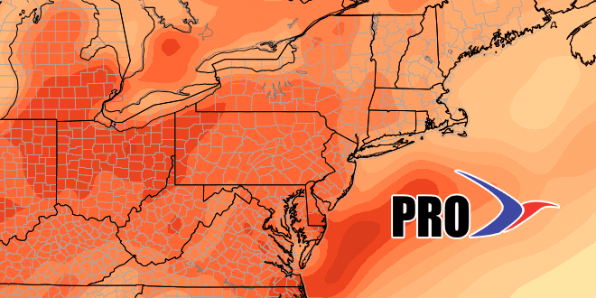
After a cool stretch late last week and this weekend, Southeastern New England is heading into an unseasonably warm pattern in the middle of the week. A back-door cold front will bring showers and cooler weather late Thursday, but the cool-down will not be too drastic, with highs still above normal this weekend.
The weekend looks mainly dry before showers threaten late Sunday into Monday. The storm system coming through early next week does not look like a super-soaker, and we’ll get back to dry and relatively warm weather in the midweek.
A lot of people are asking if winter is officially done, and I think it’s too early to say that we will not have another snow or mixed precipitation threat in Southeastern New England. While there is no threat of wintry precipitation in the next 10 days or so, the pattern looks a bit cooler, and somewhat active around the official start of spring on March 20. I’m not saying that it will snow at that time, but I’m also not going to say that it’s time to put a final nail in the coffin of winter 2015-16.
