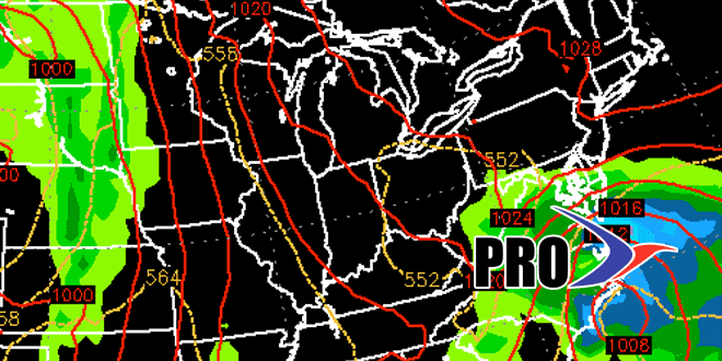
The first week of April was an absolute dud. More than six inches of snow, 75% of the normal monthly rain, and temperatures running 4° below normal. The second weekend of the month does not look a heck of a lot better, but there is some hope for decent weather in the next couple of weeks.
A storm system will brush by Saturday night with rain and snow showers. We are not expecting accumulating snow. Sunday looks bright, but unseasonably cool, with highs only in the mid 40s. The normal high is in the mid 50s.
It will get milder next week, but there will likely be a rainmaker Monday night into Tuesday. Dry weather returns in the midweek, and a nice stretch is possible from Wednesday into next weekend. The weather pattern will be very slow-moving next week, and a storm over the Southeastern United States will slowly drift north. It’s hard to say if it will get far enough north to bring rain to Southeastern New England before drifting out to sea. The timing of any rain looks like next weekend, but it’s an uncertain forecast.
The overall pattern through the middle of the month features more dry than wet weather, and seasonable temperatures beginning next week. There are unlikely to be any significant warm-ups that would put us 15° above normal, which is how far below normal we were for the past three days before Thursday’s rain.
