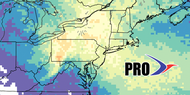
The workweek is beginning with relatively warm weather in Southeastern New England. Highs may reach 80 both Monday and Tuesday. There is a slight chance of showers or thundershowers on Tuesday afternoon. Cooler weather arrives in the midweek with a chance of afternoon/evening showers/storms on Wednesday. Highs will be in the low to mid 70s.
A relatively cool pattern arrives late in the workweek and continues into next week. Highs may struggle to reach 70 on Thursday, and it will likely only be in the low 70s on Friday and Saturday. It will also be relatively dry air that arrives, and that means low temperatures will be in the upper 40s to low 50s late in the workweek and into the weekend.
We’re tracking another storm system slated to arrive this weekend. Right now, it looks like the best chance of showers is late Saturday into at least Sunday morning. The track of the storm will decide whether it’s just a few showers or a widespread cool rain. We’ll keep you updated.
It will stay relatively cool early next week, and more rain may arrive around Tuesday. The trend is for warmer weather to build in the Northeast by the start of the Father’s Day weekend, but it does not look like widespread hot weather. It will more likely be near or slightly warmer than normal.
The tropics are active with Tropical Storm Colin hitting Florida Monday night before crossing into the Atlantic Ocean and passing well south of Nantucket Tuesday into Wednesday. There will not be any impact in New England.
| Date | Normal High | Normal Low |
| June 6 | 75 | 55 |
| June 20 | 79 | 60 |
