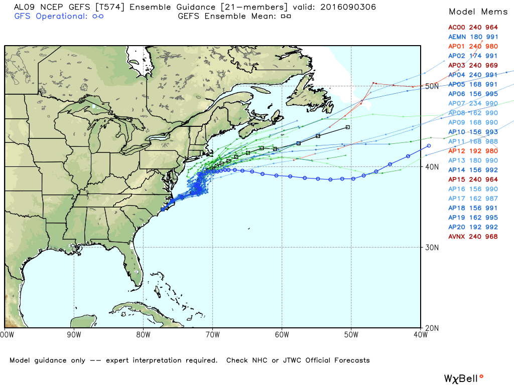
Hermine will deliver a glancing blow to Southeastern New England as it moves north Sunday night into Monday. The storm’s impacts will be nowhere near what Irene and Sandy did to the SNE coast. The storm will bring a period of gusty winds Sunday night and Monday, with a chance of scattered tree damage and isolated power outages – especially near the coast where the winds will be strongest. There will not be much rain from Hermine. The best chance of picking up more than 0.5″ of rain is on Cape Cod and the Islands.
The storm will likely drift out to sea in the midweek. Tuesday looks breezy, but the storm may be far enough away to spare Southeastern New England another round of rain and stronger winds. A return to summer-like warmth is likely when the storm gets out of the picture. Highs may reach 90° again by the end of the workweek.
SUNDAY
Sun in the morning, some afternoon clouds. Highs in the 70s. Wind increases to 15-30 mph by late in the day, with the stronger winds near the coast.
SUNDAY NIGHT
Mostly cloudy. Rain bands may move into the coast late at night, but significant rain is not expected. Becoming windy, with 40-50 mph gusts possible on Cape Cod and the Islands, but gusts likely stay in the 25-40 mph range for the rest of Southeastern New England. Lows in the low 60s.
MONDAY
Mostly cloudy, windy, scattered showers. Winds may gust to 30-40 mph for most of the day as the storm drifts north. Once again, widespread steady rain is not expected. The wind will diminish to 15-30 mph Monday night.
TUESDAY
Watching Hermine. If the storm is far enough offshore, it will be a pleasant day. If it’s nearby, it does not look like a lot of rain, but 15-35 mph winds may continue.
WED-FRI
Mostly sunny, very warm for September – highs in the 80s to near 90 inland. Lows in the 60s to near 70.
