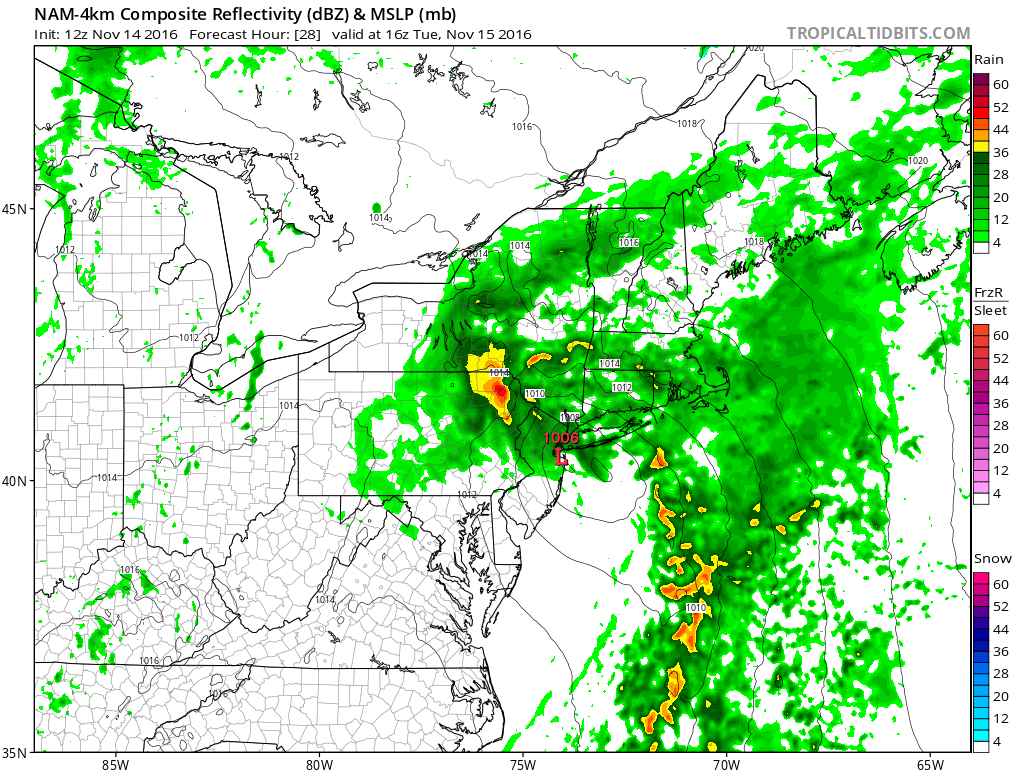
Gorgeous weather on Monday will give way to much-needed rain on Tuesday. A fast-developing storm along the Mid-Atlantic coast will bring rain for most of the day on Tuesday. It will likely be steadier in the afternoon than in the morning. Expect a relatively mild and breezy day, with temperatures in the 50s and a 10-20 mph easterly breeze. The wind direction combined with astronomically high tides will lead to minor/moderate coastal flooding along some of the Southern New England coast.
Rhode Island and Southeastern Massachusetts will likely receive 0.4-0.8″ rain from the storm. Showers end by mid-evening on Tuesday, and a dry/seasonable stretch is ahead for the rest of the workweek. Wednesday will become partly cloudy with highs in the mid 50s.
Thursday and Friday will both be fine mid-November days. Expect a decent dose of sunshine and highs well into the 50s. It will not be too cold at night, with lows in the mid 30s to low 40s. The weekend will begin with some sun on Saturday – provided a storm system stays offshore. Clouds will increase in the afternoon. Highs will be in the 50s.
A strong cold front moves through with scattered showers and gusty winds Saturday night into Sunday. Much colder weather charges in on Sunday afternoon. Highs will be in the mid to upper 40s on Sunday, but it will feel colder because of the clouds and a gusty northwest wind. Monday looks very cool, with highs in the low to mid 40s and an active northwest breeze. The cold shot looks mainly dry, but some flurries or snow squalls cannot be ruled out. It’s a pattern that bears watching early next week.
