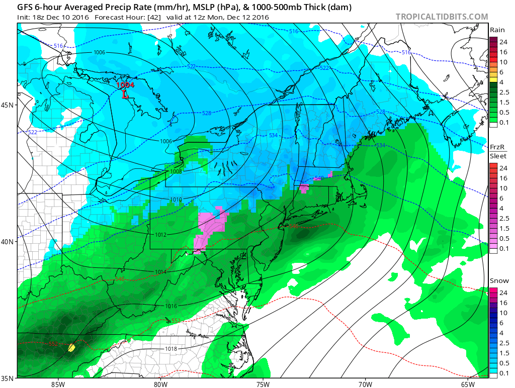
A minor to moderate snow event with a change to rain is likely Sunday night into Monday. The best chance of accumulating snow is before dawn on Monday. The precipitation will get lighter and most likely change to rain or mix by early Monday from south to north.
Sunday starts with temperatures in the teens to mid 20s throughout Southeastern New England. Clouds will increase during the day. It will be cold with highs in the mid to upper 30s and not much of a breeze.
The first flakes will reach SW RI around 6 pm and spread east through the rest of Southeastern New England by 9 pm. The best chance of steady snow seems to be between 9pm-1am near the coast, and lasting until 4-7 am inland. The coast to the I-95 corridor will most likely receive 1-2″ of snow before a change to rain/mix. Northwest of I-95 there is a higher likelihood of 2-4″ of snow by dawn on Monday.
The temperature will warm into the low to mid 30s by Monday morning, and it will reach the upper 30s to low 40s at the coast with rain showers likely. Inland, it will stay in the mid to upper 30s, but warm enough for rain/mix and some melting. The threat of accumulating snow moves into the high terrain of Worcester County and points north by sunrise on Monday.
Monday looks like a dreary and raw day with showers. Any rain/mix ends by sunset, and the temperature will most likely fall below freezing Monday night, so watch out for slick spots.
Looking ahead, the weather will be quiet Tuesday into Wednesday. A storm passing south of New England will most likely stay far enough away to spare the area any light snow, but it bears watching. The relatively cold weather pattern continues through the end of the workweek.
Our next best shot at snow and mixed precipitation is sometime next weekend. It’s early, but once again, it looks like a mixed bag with some rain involved for RI and SE MA.
