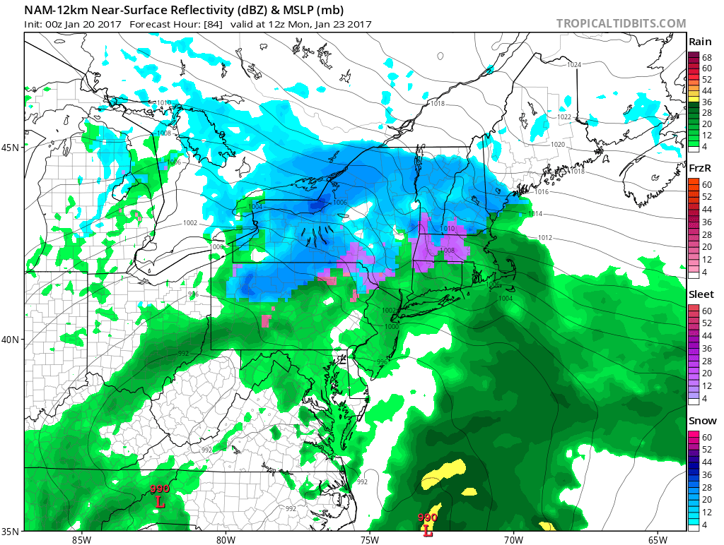
A very mild January continues with mainly dry skies for most of the upcoming weekend. A strengthening storm threatens to bring precipitation by the end of the AFC Championship game Sunday evening. That “Nor’easter” will last through Monday, and will most likely bring more rain than snow to all of Southeastern New England. That’s rare in late January!
Expect sunshine followed by clouds late in the day on Friday. Highs will be in the low to mid 40s. It will be mainly cloudy Friday night. A few passing showers are possible in SW RI. Lows will be in the low 30s.
Clouds may be stubborn on Saturday, but that will not prevent the temperature from reaching the upper 40s to low 50s. If there’s sunshine, it will get into the mid 50s. A large storm developing over the Southeastern United States will head northeast on Sunday. Clouds will thicken, and rain/mix may develop during the evening. Highs will be in the low to mid 40s at midday before an increasing breeze drops the temperature into the upper 30s to low 40s. It will be a close call with rain reaching Gillette Stadium during the AFC Championship game.
While snow cannot be ruled out with this storm, it looks more likely to be mainly or all rain in RI and SE MA. The rain may be heavy at times late Sunday night through Monday into early Tuesday. The wind may gust over 50 mph at the coast during the storm. Coastal flooding and beach erosion is possible on east-facing shores. More than an inch of rain is likely in RI and SE MA, and some spots may get 2-3″.
It looks like the storm will move away sometime between late Monday night and Tuesday afternoon. After it departs, it will stay relatively warm. Highs will likely be in the 40s late next workweek.
