Friday morning saw some super fluff in Southeastern New England. Even though there was not much water content in the snow, it still fluffed up to 3-6″ in a good part of RI and SE MA. The amount of water in the snow usually produces about 1-3″ in our area. The cold air and good snowflake growth contributed to the higher totals.
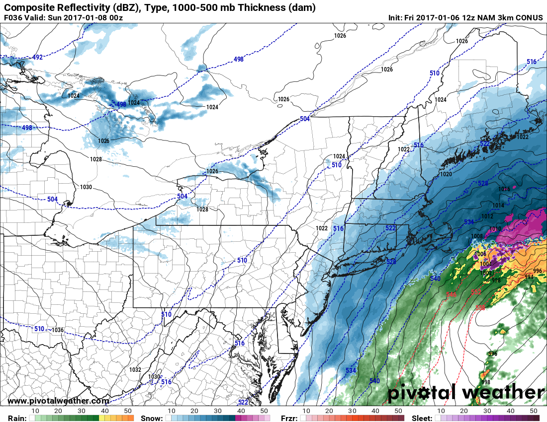
There will be some melting Friday afternoon with highs in the low 30s and some sunshine. It will stay dry through Friday night into Saturday morning. All signs point toward more accumulating snow on Saturday as a storm moving off the Eastern Seaboard comes close enough to bring steady precipitation into the cold air over Southeastern New England.
Snow will likely begin between 9-11 am, and it will be steady through the afternoon into the evening. The storm in the Atlantic Ocean will be stronger than the one that moved by on Friday, so some heavier bands may develop, especially near the coast and in Eastern Massachusetts. It will be very cold, and a big fluff factor is possible. Snow will wind down by late in the evening. Highs will be in the 20s. Wind gusts over 30 mph are possible at the RI coast, and likely in SE MA. If it comes close enough, near-blizzard conditions are possible on Cape Cod and the islands.
Snowfall totals will likely range from 3-6″ in the northern half of RI to 5-9″ in Southern RI and interior SE MA. Near Buzzards Bay, Cape Cod and the islands may receive about a foot of snow. The track of the storm is very important, and a shift west or east will make a big difference in totals – either higher or lower.
Expect the temperature to fall into the single digits to low teens late Saturday night with some blowing and drifting thanks to a 15-30 mph northwest breeze. Sunday will be cold and mainly dry, with snow showers or flurries possible late in the day. Highs will only be in the low to mid 20s.
It will stay dry and cold Monday and Tuesday before rain threatens on Wednesday.
