


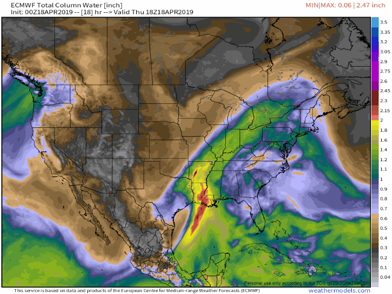
A storm system plodding through the Eastern United States will bring an extended stretch of unsettled weather into New England late in the workweek through at least part of the Easter weekend. A few light sprinkles and ice pellets Thursday morning signified the leading edge of the disturbance. Thursday afternoon through Friday will just be fringe effects for Southern New England. The best chance of steady rain is late Saturday into early Sunday, and the storm could bring more showers late Sunday into Monday.
Passing showers are possible Thursday afternoon with a southerly wind and temperatures in the low to mid 50s. Patchy mist, drizzle and fog is possible near the coast. Thursday night looks damp and mild with more drizzle, mist and fog. Temperatures will be in the mid 50s overnight.
Dreary weather continues on Friday. It may not be steady rain, but expect thick cloud cover with more drizzle, mist, and fog at times. The persistent southerly wind may get the temperature above 60 degrees inland. The best chance of showers on Friday is in the afternoon, but the morning could be damp/dreary because of drizzle.
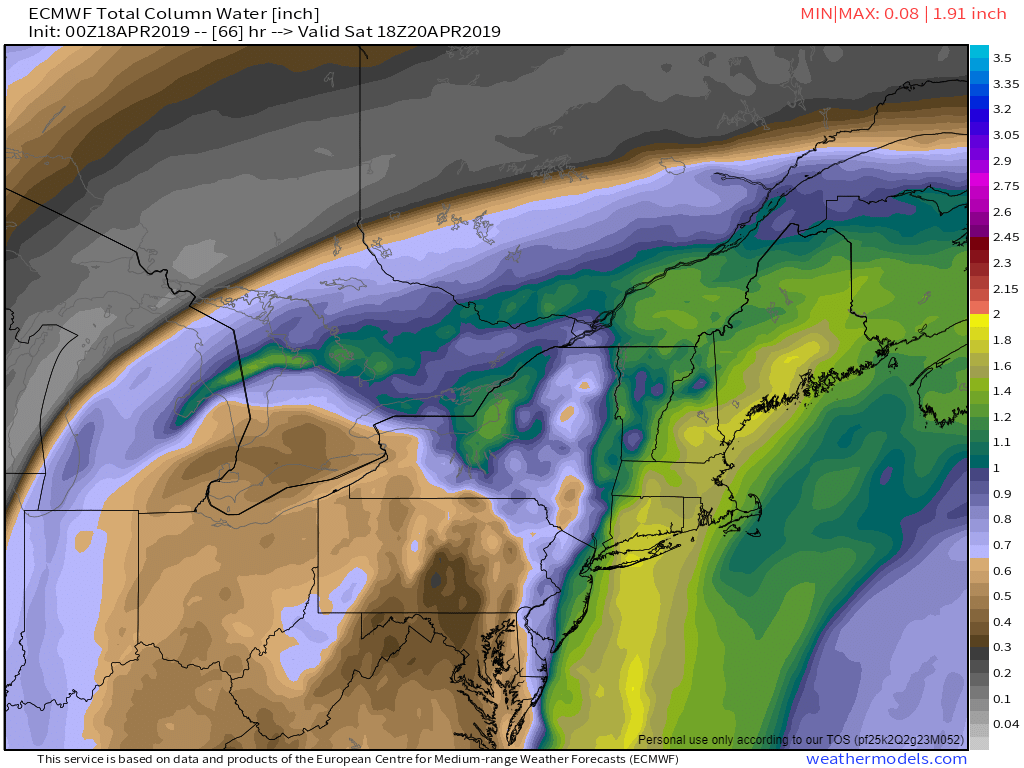
Nothing really changes Friday night into early Saturday. It will be another damp and mild night. It may stay near 60 inland, and in the 50s closer to the water. Locally dense fog is possible. The best chance of steady rain on Saturday is in the afternoon or evening as a front gets closer. Thunderstorms are possible with this system. It will stay mild with temps in the upper 50s to coast to mid 60s inland. It may not be an all-day washout on Saturday, but it does not look like a great day, either. The grass has been growing quickly, but it could be too damp to mow it on Saturday.

The threat of showers/storms lingers into Eastern Sunday morning – especially in Rhode Island and Eastern Massachusetts. There’s a better chance of dry weather by midday into the afternoon, and it could be quite nice for some time in the afternoon if the sun breaks through. Expect temperatures in the 60s, and maybe low 70s with enough sun. Hopefully, it will be enough to dry the grass for any Easter egg hunts.

What’s left of the storm may spin through Sunday night into Monday morning with another round of showers to start next week. Expect cooler conditions on Monday, regardless of whether it rains.
The mid-April unsettled theme that we talked about a couple of weeks ago has played out as expected, and the overall pattern through May looks wetter than normal on the longer range models. It will likely be a green spring in New England.