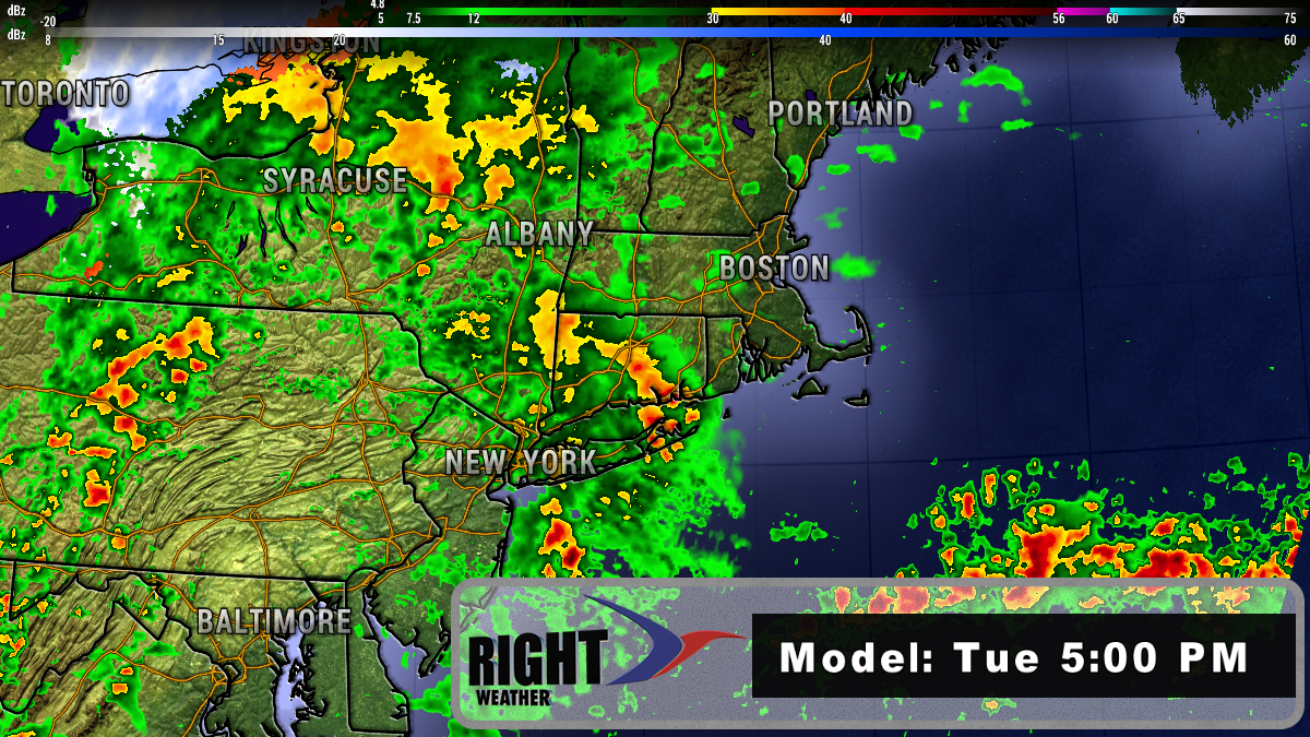
Quiet and relatively mild weather returns for most of the upcoming week. Look for temps to be in the 40s or 50s Monday through Friday. There will be a few midweek showers, but heavy rain is not likely. A quarter-inch or less of rain is in the forecast through Thursday. The weather may take a significant turn for the worse heading into the weekend.
It’s a very close call with a major Nor’easter as all the ingredients are on the table Friday into Saturday. However, there is a lot of uncertainty about how those ingredients will come together, and whether the storm will form close enough to the coast for a major impact in Southern New England. Right now, it looks like a 30-40% chance of a “hit” with significant snow/wind for at least part of Southern New England. On the flip side, that means there’s a 60-70% chance of minimal to no impact if the storm develops too far out to sea.
In a worst-case scenario, a heavy snow Nor’easter is possible. At the other end of the spectrum, if the storm is out to sea it will likely turn cooler, but stay mainly dry Friday into Saturday. The interesting thing is that it looks like an all-or-nothing scenario where the storm either hits Southern New England with the most snow it’s seen in a couple of months or it misses without much of an impact. At this point, I don’t see a 1-3″ light snow as an option, but there’s still a long way to go.
Regardless of whether the storm hits or misses, the first half of March looks rather warm in Southern New England. The European computer model ensemble predicts 3-5° warmer than normal through the weekend, and 4-7° warmer than normal next week.
