

A rather dull stretch of weather continues through the weekend and for most or all of next workweek. The temperature will stay below normal with dry conditions into the middle of next week before a slight warm-up ahead of a storm that will likely bring rain next weekend.
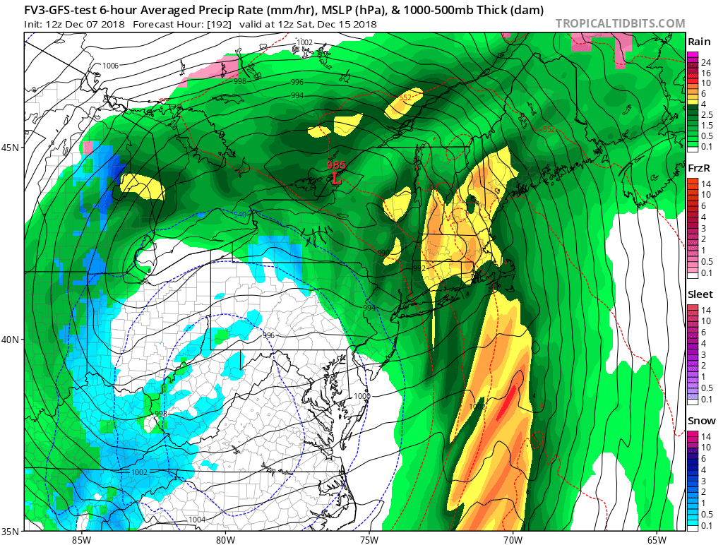

Storm track not favorable for snow next week
The high temperature will struggle to reach 40° before next Thursday, and lows will be in the 10s/20s. It does not look extremely windy with most days featuring more sun than clouds and a 5-15 mph breeze. The weather will be more typical of late-December than early to mid December.
The temperature most likely reaches the 40s ahead of a storm that is slated for early next weekend. It’s early, but there is pretty strong agreement among the computer models that a storm will cut to the west of New England sending warmer air with rain and gusty winds Friday night and/or Saturday. Of course, the details will come into focus as next week progresses.
It’s way down the road, but the storm track continues to looks unfavorable for snow in the following week. Another storm that tracks west of New England may bring rain around December 19-21. It’s too soon to give up all hope for a White Christmas. All it takes is a slight pattern shift for that storm to trend colder and there’s still plenty of time between December 21-25 for another event.
The milder stretch in mid-December may not be a sign of things to come in January. There are indications that the pattern will flip back to near or colder than normal weather in early January. So, while it’s unlikely that we’ll see a lot of snow through the rest of this month, it could get more wintry after the New Year.