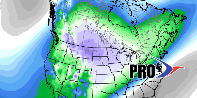
Into December we go…it’s the start of meteorological winter (Dec-Feb) and it looks like the Western US will be cold while the East is a battleground between cold/mild weather. The upshot is the pattern looks fairly active in Southern New England with a fair amount of damp, chilly weather, but probably not much snow in the next 14 days.
In the near term it will be seasonable through Thursday. Milder air tries to punch in on Thursday, but there may be clouds/showers with the warm front. Warm frontal passages can be painstakingly slow at this time of the year, so we’re not too bullish on the temperature getting much above 50°. A front will slide into the Northeast on Thursday night through Friday. Initially, it will be mild with showers, but colder weather will move in as the showers continue. In fact, the showers may end as snow or mixed precipitation Friday night.
The theme of overrunning precipitation will prevail with this system, and then possibly again next week as another front slowly eases into the Northeast. Overrunning precipitation is when warm, moist air rides up over a colder airmass and leads to the kind of weather that we saw Sunday into Monday – damp, gray, and chilly. Between those systems you can expect a cold shot from the weekend into early next week. Highs will be in the 30s, lows in the 20s.
We’re still keeping an eye on the potential for a bigger storm sometime in the middle of the month. The long range models have been fairly consistent in bringing something from the Midwest to New England between Dec. 12-15.
