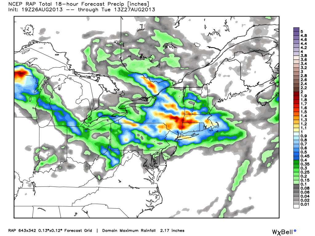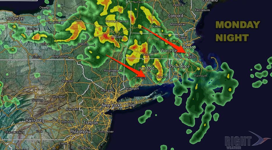
An area of rain over Western New York Monday afternoon is diving southeast toward Southern New England. Locally heavy showers and thunderstorms will move through CT, RI, and MA Monday night. There is the potential for up to 2″ of rain in some of the harder hit areas. Even at this point, it is hard to know exactly where the heaviest rain will be. The favored areas for 1-2″ of rain are in W CT and W MA. All of SNE should receive some rain, and most areas will get 0.5″ or more. There is a lower chance of heavy rain in far Eastern MA. The widespread shower and thunderstorm threat ends around dawn Tuesday.