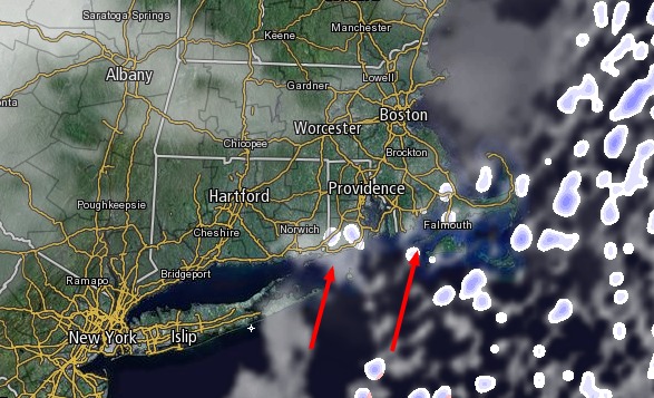
Southern New England is no stranger to ocean-effect or ocean-enhanced snow. It occurs frequently along the Eastern Massachusetts coast from the North Shore to Cape Cod when there is a persistent east or northeast wind. It can also happen on Cape Cod with a north or northwest wind blowing across Cape Cod Bay. However, there is rarely ocean-effect or ocean-enhanced snow at the south coast of Southern New England. Saturday may be a chance to witness it as a strong Arctic cold front approaches from the west.

The wind will swing around to the south-southwest late Friday night, and the approaching system may offer just enough instability to allow for snow showers or flurries to develop on the islands, the coast of RI, and through Buzzards Bay and Cape Cod. Normally, and approaching cold front will shift the wind to the south-southwest and bring in milder air that would lead to rain, but this front is moving through very cold air over the Northeast, and the water temperature is only in the mid 30s, so the wind shift to the south-southwest will probably not bring in enough warm air for rain or mixed precipitation.

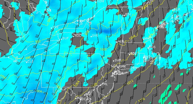
The forecast is challenging for Saturday because of this feature and the uncertainty about the extent of snow showers and snow squalls later in the day and Saturday evening as the Arctic front passes through Southern New England. It is similar to a summer forecast of showers and thunderstorms with a cold front. It is difficult to know how well the showers/squalls will hold together as they near the coastal plain of Southern New England.

For that reason, along with the potential for the ocean-effect snow early in the day, we are leaving the door open for up to 2″ of snow in RI and SE MA. It is quite possible, however, that the snow showers and/or squalls are not heavy enough to lead to any accumulation.

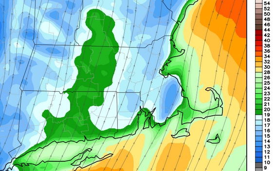
Any snow showers or squalls could lead to hazardous driving conditions because of the strong winds that will be blowing the snow around. The wind may gust to 40 mph near the coast, and it should be 15-30 mph sustained in the afternoon and early evening. In a worst-case scenario, snow squalls could briefly lead to near-zero visibility. The best chance of seeing brief near-blizzard conditions is in the afternoon in the Berkshires as snow squalls move in ahead of the front.
There will be a brief warm-up into the mid 30s in RI and SE MA on Saturday, but after the snow showers leave the temperature will nosedive into the mid 20s by midnight. A flash freeze is possible if the ground is wet or slushy.


