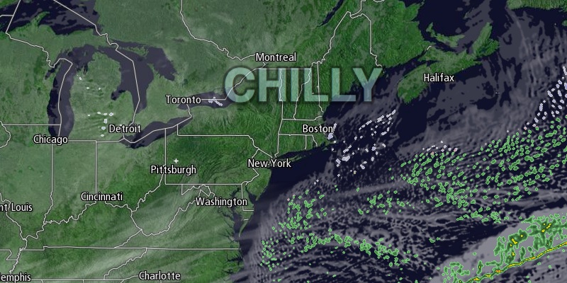
A messy winter storm brought several inches of snow followed by mixed precipitation to Southeastern New England on Wednesday. Further inland, the precipitation remained snow, and nearly a foot accumulated along the Massachusetts Turnpike from Worcester to Boston. By mid to late morning the snow had changed to mixed precipitation in RI and SE MA. It continued off and on through the afternoon.
Light snow redeveloped Wednesday evening as colder weather moved in on the back side of the storm. There will be a coating to an inch of additional snow. The threat of snow showers or flurries ends around midnight. Widespread black ice is a concern on untreated roads, sidewalks, and driveways. It will turn much colder by dawn with the temperature dropping into the mid to upper teens inland, and low 20s near the coast by dawn.

A quiet and cold stretch of weather is ahead for the rest of the workweek into the weekend. Thursday looks partly cloudy to mostly sunny with highs in the mid to upper 20s. It will be mainly clear and very cold Thursday night. The temperature will drop into the single digits to low teens with plenty of fresh snow on the ground.
Friday should be bright, but chilly, with highs in the upper 20s. Once again, the temperature will dip to the single digits and teens Friday night. It will stay cold and dry on Saturday. Look for highs near 30 under partly to mostly sunny skies.
The odds of a big snowstorm at the end of the weekend are dwindling, but a smaller snow event is possible. Right now, it looks like there will be occasional light snow on Sunday with highs in the upper 20s to low 30s. There may be some accumulation, but it should be less than either of the two storms so far this week.


