Long-Range Forecast – July 31

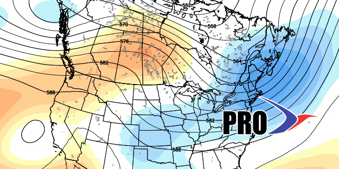
We are not looking at any major changes to this summer’s weather pattern in the next couple of weeks. There is still no sign of extreme heat, and, most days, it should be seasonable and dry. If Tropical Storm Bertha forms in the Caribbean as expected, it will likely move north of the Bahamas then curve out to sea. It’s worth watching just in case it does not get picked up and swept out to sea by the jet stream. If it has a chance to stall off the coast, then it may play a role in our weather at the end of next week, but that is an unlikely scenario.
There is a threat of showers from Saturday through Monday, with the best chance of rain on Saturday into early Sunday. Even at this point, there is still a lot of uncertainty with the weekend forecast. The best chance of rain Monday afternoon is away from the coast. Dry weather is expected through the middle of next week. Looking way down the road, the end of next week may get unsettled again. After several gorgeous weekends to start the summer, the weather has become a little dicey for the past couple of weekends, and the early outlook for next weekend is similar. Check out the video for more.


