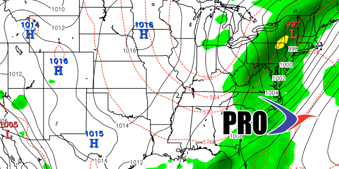
Long-Range Forecast – September 11

The second week of September has not been as warm as the first, but it’s still running a bit warmer than normal, and the month is averaging 5.5° warmer than normal in the Providence area through the first 11 days. That’s not unexpected considering how we saw the pattern changing near the end of August.
While the temperature pattern has been fairly straightforward, the rain forecasts have been difficult. Basically, by Saturday, there will have been just 0.6″ of rain in the Providence area in the past month. There have been a few shower chances that did not materialize, including this evening as a front is moving through without generating rain. The phrase “when in a drought, forecast dry” is pinging around in my head as I look at the outlook for the next couple of weeks. Right now, it looks like a decent chance of 0.1-0.25″ of rain late Saturday afternoon and/or evening and on Tuesday – primarily in the morning. We’ll see if those odds decrease as the even nears – similar to what happened tonight. Other than that, rain seems unlikely in the next 10 days.
One thing we’ll be keeping an eye on is the potential for tropical or hybrid systems to develop near the Eastern Seaboard in the 10-20 day range. A tropical or hybrid system could infuse some moisture into a cold front and bring much needed rain.


