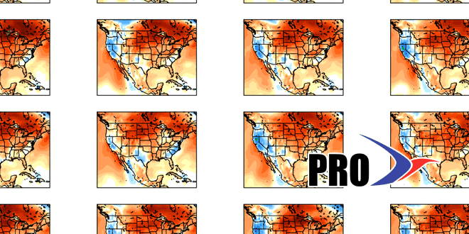
Long-Range Forecast – September 26

Thursday’s rain storm was close but not close enough for most of Southern New England. Cape Cod and Nantucket received 1-2″ of rain, but the totals were paltry for most areas west of the Cape Cod Canal, including all of Rhode Island. Dry and warm weather is likely through the weekend into early next week, and our next shot at rain is in the middle of next week as another storm develops along or off the Eastern Seaboard. The jury is out on how close the storm will come and whether we’ll get beneficial rain, but the potential exists for at least showers from Tuesday-Thursday of next week. In any event, the temperature will go from well above normal to near/below normal Tuesday through Thursday. It should moderate to near or above normal next weekend.
Another system will move through the Northeast late next weekend, and that one could bring showers.You may remember there was a moderate drought last fall before heavy rain in late November ended it. In general, the pattern looks fairly active in the Eastern United States in early October, and that should give us possible rain every few days. It does not look like it will be terribly cold at any point through the first 10 days of October.


