The threat of strong to severe thunderstorms in Rhode Island and Southeastern Massachusetts ends by late Saturday evening, and any lingering showers should move out before dawn on Sunday. It will turn less humid late at night, and lows will be in the mid to upper 70s. It will be a nice Sunday, with partly cloudy skies and highs in the mid to upper 70s. There will be a 10 mph northerly breeze.
Today is the fifth day 87° or warmer in the Providence area this September. There were 10 days 87° or warmer from June through August.
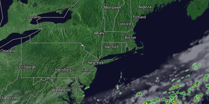
— Right Weather (@RightWeather) September 6, 2014

Sunday night looks clear and comfortable, with lows in the mid to upper 50s. The weather will stay dry and pleasant on Monday. Look for mostly sunny skies and highs in the low to mid 70s. A storm system developing along the Eastern Seaboard will likely miss Southern New England or just deliver a glancing blow on Tuesday. A few showers are possible, with highs in the low 70s.
The weather will be decent in the midweek. You can expect highs in the mid to upper 70s with partly cloudy to mainly clear conditions Wednesday and Thursday. Lows will be in the 50s. Friday will become muggier with the chance of showers and thunderstorms. Highs will be in the upper 70s to low 80s, and lows will be in the 60s.


