The weekend will begin with muggy weather on Saturday morning. The low temperature will be in the upper 60s to low 70s near dawn, and skies will become partly sunny during the morning, and the temperature will rise into the mid to upper 80s inland and upper 70s near the coast. There will be a 10-20 mph southwesterly breeze.

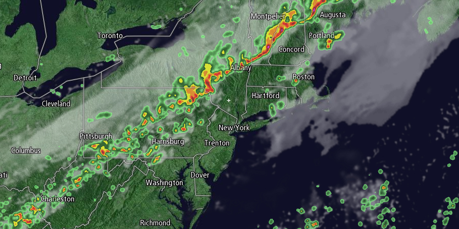
A line of thunderstorms will move east through Southern New England during the afternoon. Rain should hold off until late afternoon at the earliest in Rhode Island in Southeastern Massachusetts. There is a better chance of showers/storms at night, especially over far eastern Southern New England. There is potential for strong thunderstorms inland Saturday afternoon and early evening. Lows will be in the mid to upper 60s
The rain threat diminishes by late at night. Sunday should be a decent day with highs in the mid 70s under partly sunny skies. There will be a light northerly breeze. The humidity will be much lower on Sunday than Saturday.
Sunday night will be clear and comfortable, with lows in the mid to upper 50s. Monday will be dry, with clouds increasing in the afternoon. Highs will be in the low to mid 70s with low humidity. A storm developing along the Mid-Atlantic coast will drift north in the midweek. Showers are possible on Tuesday, and rain is likely on Wednesday as the storm gets closer to Southern New England. Highs will be in the 70s. There could be a break in the action for part of Thursday before more showers arrive late in the workweek.


