Summer has unofficially ended in with the passing of Labor Day, but the warm weather will roll on through most of the first week of September. Tuesday looks partly sunny, very warm, and muggy, with the chance of an afternoon thunderstorm. Highs will be in the mid to upper 80s inland, and near 80 at the coast as a southerly breeze develops during the day.

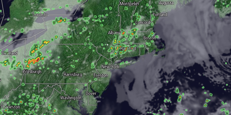
Scattered showers and thunderstorms are possible Tuesday night as a cold front swings through Southern New England. Tuesday night looks warm, with lows in the upper 60s to low 70s. The weather that moves in on Wednesday will not be much cooler, but should be less humid. Wednesday should be mostly sunny with highs not far from 90 inland and in the low 80s near the coast. Dew points will be in the upper 50s to low 60s, not as muggy as the upper 60s to low 70s on Tuesday.
It will stay warm and gradually get more humid late in the workweek and into next weekend. Highs will be in the low to mid 80s with mostly sunny skies on Thursday. Lows will be in the mid to upper 60s Thursday night, and highs on Friday will be in the mid to upper 80s inland, and low 80s near the coast. School is back in session, but the beach is the place to be!
Saturday will be very warm and humid, with highs in the mid to upper 80s. Afternoon and/or evening showers and thunderstorms are likely on Saturday as a cold front approaches. There is a chance that front stalls along the coast allowing for cooler rain showers on Sunday. We’ll keep you updated.


