The weather will stay mild into the weekend before sharply cooler weather arrives on Sunday. It will be partly to mostly cloudy on Saturday morning. A stray shower cannot be ruled out, but it should be mainly dry. Skies will become partly to mostly sunny in the afternoon. It will be breezy and relatively warm, with highs in the mid 60s at the coast to near 70 inland.

A strong cold front will move through New England Saturday night. Passing showers are possible, but it does not look like a widespread rain event. The temperature will fall into the mid to upper 40s by early Sunday morning. It will be dry, brisk, and chilly on Sunday afternoon. Highs will only be in the low to mid 50s with partly cloudy skies. There will be a 10-20 mph northwesterly breeze that makes it feel even cooler.
Sunday night will be one of the coldest of the season, with lows in the mid to upper 30s. It’s unclear if there will be frost because the wind may stay active at night, preventing frost formation. After a chilly start, the temperature will rise into the mid to upper 50s on Monday afternoon. Skies will be partly to mostly sunny.
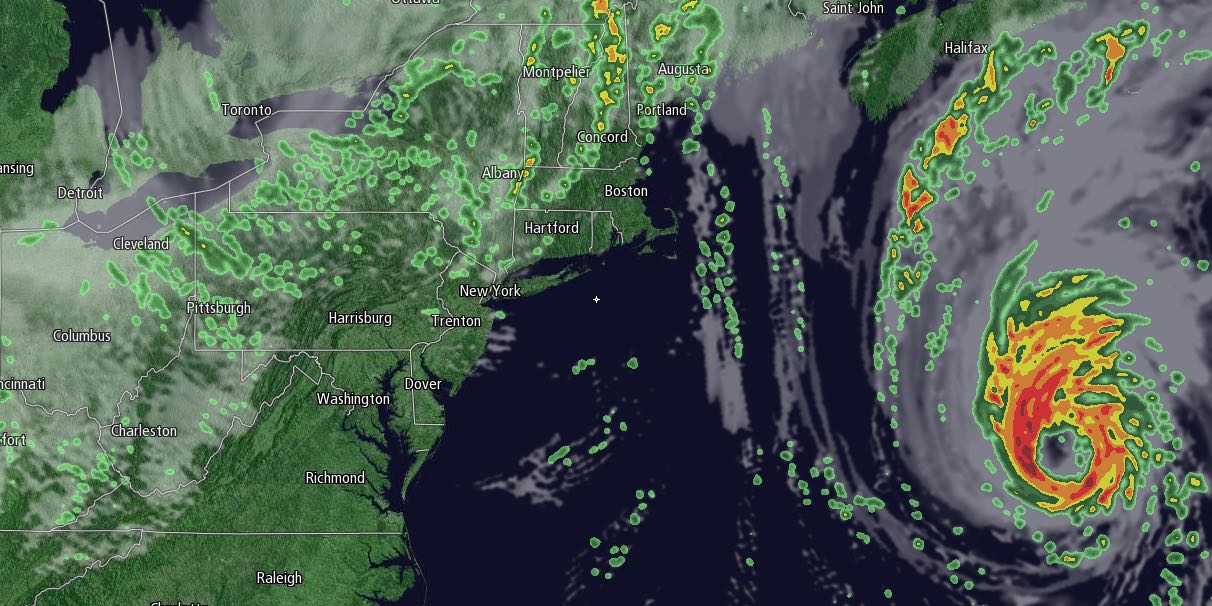
Clouds will increase during the day on Tuesday. Showers are possible by late in the day. It will likely be the start of an unsettled stretch that lasts for several days as a storm forms off the Southern New England coast and remains nearly stationary through most of the rest of the workweek. Highs will be near 60 on Tuesday.
Rain or showers are likely Wednesday, Thursday, and possibly Friday. The exact track of the storm is questionable, but it’s looking increasingly likely that it will form in a place that brings at least showers and cool weather to Southern New England, and possibly moderate to heavy rain and gusty wind. The persistent northeast wind could lead to coastal flooding for east-facing shorelines. Temperatures will hold steady between the upper 40s and upper 50s from Wednesday through Friday. More than an inch of rain is likely, and, depending on the exact track, it could be a few inches of rain in the hardest hit areas. We will keep you posted.


