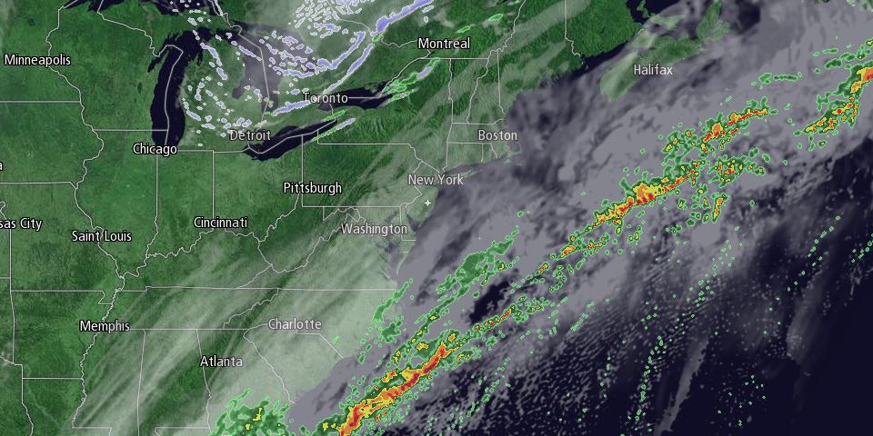
A wet and mild Monday will give way to drier, but still mild, weather on Tuesday. After a cloudy start with patchy dense fog, there should be a bit of sunshine, and highs will be near 60. Clouds will thicken Tuesday night ahead of a developing storm that promises to bring travel headaches for some in the Northeast on Wednesday.

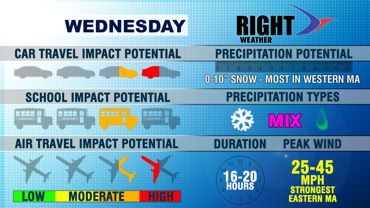
Rain may develop by 8 am with temperatures still in the upper 30s to low 40s. The temperature should fall into the mid 30s, and rain may change to or mix with wet snow during the day, especially northwest of the I-95 corridor in Southeastern New England. There is a better chance of mainly rain south and east of I-95. The precipitation could be heavy at times Wednesday afternoon and evening as the storm intensifies south of Southern New England.
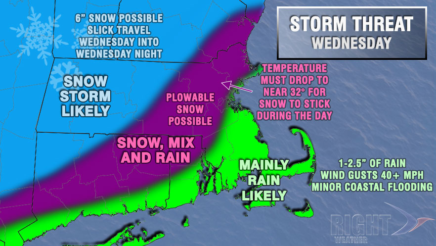
Our forecast is for rain to continue from the coast to I-95 through Wednesday evening. Rain, snow, or a mix is likely northwest of I-295 and RT 128 into southeastern Worcester County. The precipitation will likely stay as snow from Worcester to points north and west. The temperature late Thursday afternoon into Thursday evening will decide if there is a plowable snow in far NW RI and interior Eastern Massachusetts. It’s a very close call, and it’s too early to project accumulations. There is a better chance of several inches of snow in Western Massachusetts and Southern New Hampshire and Vermont. We do not expect heavy accumulating snow in Providence or Boston, although Boston may receive a minor accumulation as the storm departs Wednesday night. The areas that see rain, could pick up a couple of inches of it, and that will lead to ponding on the roadways and slow travel. Peak wind gusts over 40 mph are also possible on Cape Cod and the islands.
The temperature will fall into the low to mid 30s by late Wednesday night. Some icy spots are possible, especially northwest of I-95. Thanksgiving looks dry, breezy, and cool. Highs will be near 40. There will be a quiet stretch of weather from Thursday through the weekend. Initially, it will be chilly, with highs in the 30s on Black Friday. Saturday will most likely reach the low 40s after a cold start, and Sunday may break into the 50s.
Stay with rightweather.com and the Right Weather app for the latest on the pre-Thanksgiving storm.


