Thursday will get off to a sunny, but frigid, start with temperatures near 0 in some spots at daybreak. The temperature will climb to near 30 in the afternoon as clouds drift in from the west ahead of a weakening weather system. The wind will shift to the south, and the temperature will not fall Thursday night.

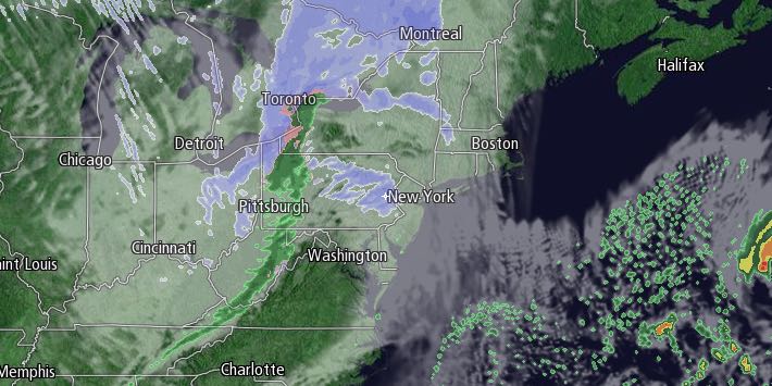
Clouds will thicken Thursday evening, and snow and/or rain showers are likely from late in the evening into Friday morning. It looks like there will not be enough cold air around to support much accumulation on treated surfaces into Friday morning, especially near the coast. There may be a coating to an inch on any existing ice, snow, or untreated surfaces.
Lingering snow/rain showers are possible through the day on Friday, and the temperature will fall quickly late in the day as a cold front passes and the wind shifts to the northwest. Once the cold front hits the Atlantic Ocean, a storm will form, and there may be some snow that wraps into Southeastern New England as the storm intensifies Friday night into Saturday morning. Accumulating snow is possible if the storm develops close enough to the coast. The best chance of picking up a few inches is along the Eastern Massachusetts coast, and an inch or two cannot be ruled out in Rhode Island. We hope to have a better idea on Thursday of how the storm will develop. In any event, it will be sharply colder Friday night, with temperature plummeting into the teens.
Saturday may begin with snow showers or flurries, but it will become partly cloudy, and the temperature will stay in the mid to upper teens. A gusty wind will make it feel even colder. Saturday night looks clear and very cold, with lows in the single digits to low teens.
Sunday will be mostly sunny with highs in the low to mid 20s. It will be a close call with a storm system passing south of Southern New England on Monday. It’s unclear if it will come far enough north for precipitation, but, if it does, it could bring plowable snow. Right now, it looks like it may stay just far enough away that we will not get more snow. Bitter cold weather will continue into the middle of next week.


