Muggy Through the Midweek

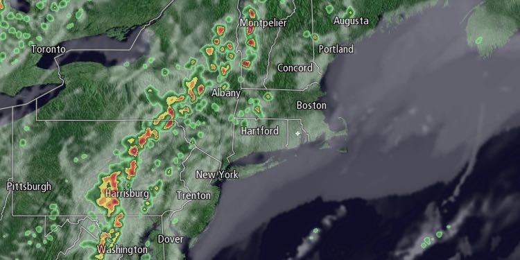
The warm and muggy weather pattern will persist through the middle of the week in Southern New England. Low clouds and fog may develop Tuesday night, especially near the coast. Lows will be in the low to mid 60s. It may take a while for the clouds to burn off during the day on Wednesday. The best chance of seeing an extended stretch of sunshine is away from the coast. Highs inland will be in the 80s. It will stay in the 60s to low 70s near the coast with more clouds and a southwesterly breeze. There is a slight chance of a pop-up thunderstorm inland in the afternoon.

Thursday will be partly cloudy with the chance of pop-up showers and thunderstorms. It will be warm and humid. Highs will be in the 80s inland, and 70s near the coast. It will briefly get less humid Thursday night into Friday as the wind shifts to the north or east. Muggy weather will creep back into Southern New England on Friday. Skies will be partly to mostly sunny. Highs will be in the 80s inland, and 70s near the coast.
Saturday looks breezy, warm, and muggy with sunshine giving way to late-day clouds. It should stay dry into the evening, and possibly through the night. Highs will be in the 80s again inland. It will stay in the 70s near the coast with a gusty southwest breeze. A slow-moving cold front will likely trigger showers and thunderstorms on Sunday. It’s too early to say if it will be a washout. Keep close tabs on the forecast if you have outdoor plans. Highs will be in the 70s to low 80s depending on the timing of the rain.
Showers may linger early next week, and it will be cooler, with highs on Monday in the 60s with a northeast breeze.


