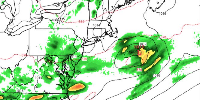
It was dry. It was wet. Now, it looks like the 4th of July will be mainly dry in Southeastern New England. A weak storm system passing south on Saturday will thrown plenty of clouds into Rhode Island and Southeastern Massachusetts during the day, but most of the day looks dry.
SATURDAY
Clouds will increase early in the day, and there may not be much sunshine throughout the day – especially near the coast. The wind will shift to the east and northeast. The wind direction combined with the clouds will keep the temperature range between the upper 60s and mid 70s. The best chance of seeing the mid 70s is well away from the coast. Regarding showers, the best chance of seeing stray showers is in the afternoon and early evening.

SATURDAY NIGHT
Right now, it does not look like there will be enough widespread rain to have a major impact on cookouts and fireworks displays. There could be some low clouds near the coast in the evening. The temperature will settle back into the low to mid 60s in the evening – not particularly warm for the 4th. Skies will clear after midnight. The low temperature will be near 60.
SUNDAY
After a cool 4th, the weather will warm up quickly on Sunday. Highs inland will be in the low to mid 80s under partly sunny skies. It will be near 80 at the coast before an afternoon sea breeze kicks in. There should be mostly sunny skies at the beaches.
EARLY NEXT WEEK
It will be mainly dry, warm, and humid early next week. Monday looks partly to mostly sunny with highs in the 80s inland, and upper 70s at the beach. There will be a southerly breeze. Tuesday will be partly cloudy with a slight chance of pop-up showers and storms. Highs will be the same as Monday. Wednesday looks like a typical mid-summer day. It will be one of the warmer days so far this summer. Highs inland will be in the mid to upper 80s. The beach will be near 80. It looks like the threat of showers and storms will hold off until Thursday into Friday.


